


Understanding the past history of ancient settlements in the great Rann of Kachchh, Gujarat: Influence of seismic activities or climatic fluctuations?
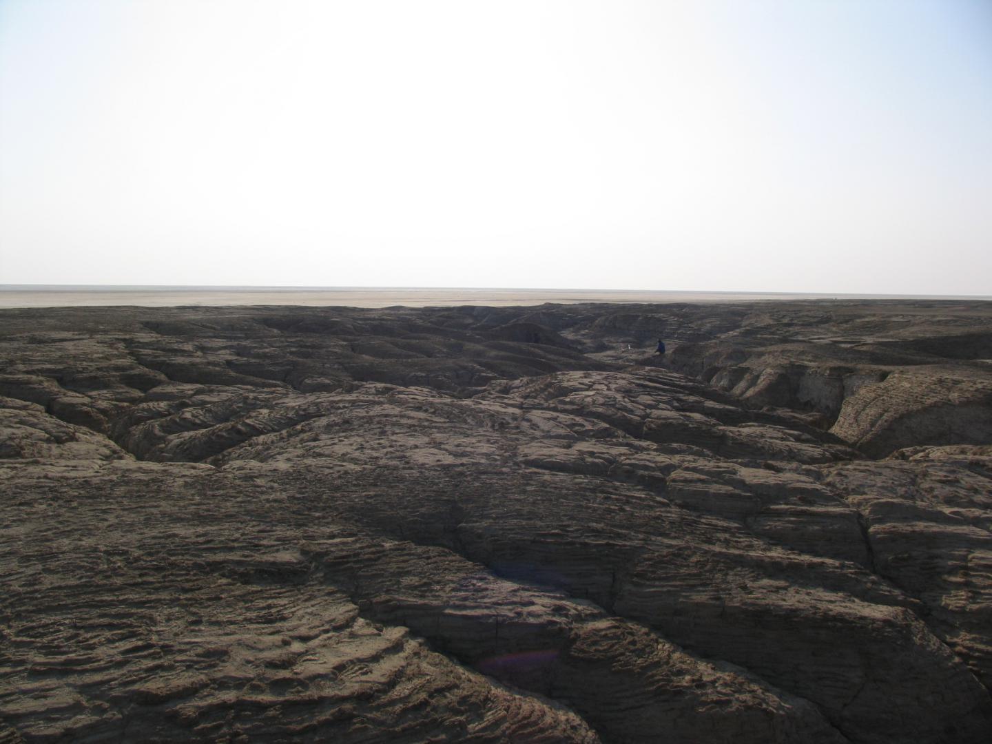
This project is an interdisciplinary attempt to understand the cultural and historical evolution of ancient sites in the Kachchh region as shaped by the tectonic movements as well as climatic fluctuations during past 10,000 years. The geographical and climatic terrain of a region reflects as much in the cultural shape of the region as its political, social or economic factors. Therefore, the slanted wall of the Tibetan architecture has much more to do with the instable tectonic forces of the region than the aesthetic, social, or economic constraints. The settlement as well as migration of people can be mapped along the tectonic lines. The Kachchh region in seismic zone V outside the Himalaya is not only well known for the occurrence of large magnitude earthquakes occurred in 1668 (M7), 1819 (M7.7 ± 0.2), 1956 (Ms6.1), and 2001 (Mw7.6), but also for having major Harappan (4000-4500 year) and ancient (historical) sites. One of such major sites was Dholavira located on Khadir Island. Few sites in the Great Rann of Kachchh (GRK), probably flourished until 1819 Allah Bund earthquake. Till date it is not fully understood as whether these sites were affected by the major seismic events in the past and also the presently evolved landscape was influenced by tectonic movements or solely by climatic fluctuations during past 10,000 yrs. The geologists, archaeologists, and scholars of ancient Indian history have mentioned the existence of numerous mighty southwest flowing rivers viz. the Sindhu (Indus), Shatadru or Nara (Sutlej) and Sarasvati, during Pre-Vedic and Vedic times (4000 yr). These rivers flowed into the then existing Arabian Sea, presently the GRK.
In the proposed study, we would like to apply an interdisciplinary approach to unearth the reasons for the following: (a) why major settlements flourished in the western Gujarat - in the Kachchh region? (b) Whether they had any connection with Indus Valley Civilization? (c) What favored these people for the selection of these sites, which at present is marked by a deserted landscape - the Great Rann? (d) Do all sites belong to the same cultural phase? (e) What were the reasons for the landscape changes over the time? Finding answers to these queries will help us to have a holistic picture of relations between the past and present landscape, cultural transformation over the time and whether that culture in some form was adopted by present communities settled in these or nearby areas in Kachchh, Gujarat.
The aims of this study are:
- To understand the paleo-drainage and landscape that provided suitable site for these settlements.
- To identify factors i.e., climate or seismic events that influenced evolution of the present landscape and forced settlements to shift along with cultural transformation.
- To reconstruct ancient landscape and water system in Kachchh.
- To collect historical written records e.g., Sanskrit, Vedic and historic documents in local language if available from this region, which will help in strengthening our understanding.
- To consolidate the knowledge acquired from the project into a short course on archeo-seismology.
")