Intranet | Webmail | Forms | IITK Facility
|
04 July |
|
|
04 July |
|
|
04 July |
Activities
|
Past events |
Upcoming events |
|
Introduction to Geodesy 23-27 Oct 2023 |
Introduction to GNSS & its Applications 25-29 Nov 2024 |
|
Short Term course on Adjustment Computation 18-23 Sep 2023 |
|
|
Two-Week course on Strengthening the Positioning Infrastructure 22-04 March 2023 |
|
|
Two-Week course on Strengthening the Positioning Infrastructure 19-30 Sep 2022 |
|
|
Short-Term Course on Geodetic Surveying 11-15 Jul 2022 |
|
|
Two-Week Short-Term Course on Introduction to Surveying 9-20 May 2022 |
|
|
One-Week Course on Strengthening the Positioning Infrastructure 25-29 Apr 2022 |
|
|
Two-day Course on Recent Developments in the field of Geospatial and Geo-Intelligence Data Collections 19-20 Apr 2022 |
|
|
Four-Week Course on Strengthening the Positioning Infrastructure 20 Dec 2021 – 14 Jan 2022 |
|
|
Introduction to GNSS and applications 8-29 Nov 2021 |
|
|
Short Term Course on Introduction to GNSS and Its Applications Last Date of Online Application: 30 October 2021 |
|
|
Geodetic Network Adjustment for High-Resolution 2D/3D Surveys for NSDI Application Development 26-27 Aug 2021 |
|
|
Senior Level Short-term course on Geodesy (19-30 July 2021) |
|
|
Winter school on Physical Geodesy & its applications Workshop on the design, development and applications of satellite gravimetry. (February 15-24, 2021) |
|
|
Computing Techniques for Urban Mobility and Smart Parking Lecture Series under Sparc (28-30 Jan 2021) |
|
|
The present and future of Satellite Gravimetry Workshop on the design, development and applications of Satellite Gravimetry. (November 18-20, 2020) |
|
|
Introduction of VLBI Technique for Geodetic Applications in India (March 3 - 4, 2020) The workshop will be led by Prof. Harald Schuh, Director, Department of Geodesy, GFZ, Potsdam, Germany. |
|
|
Geospatial Technologies for Smart Cities and Urban Mobility (January 20 - 28, 2020) The workshop is led by Prof. Stephan Winter, The University of Melbourne, Australia |
|
|
Autumn School on Physical Geodesy and Its Applications (October 14 -24, 2019) The school was conducted mainly by Prof. Will Featherstone, Curtin University, Australia. |
|
|
Inauguration function of the National Centre of Geodesy (September 7, 2019) |
|
||||||
 |
K. K. BajpaiPrincipal Scientific Officer
|
 |
||||
Contact
 |
Dr. Onkar DikshitProfessor & Program Coordinator NCG |
||
 |
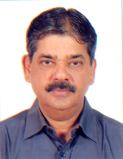
Maj. Gen. Dr. B. NagarajanPh.D. Ohio State University |
||
 |
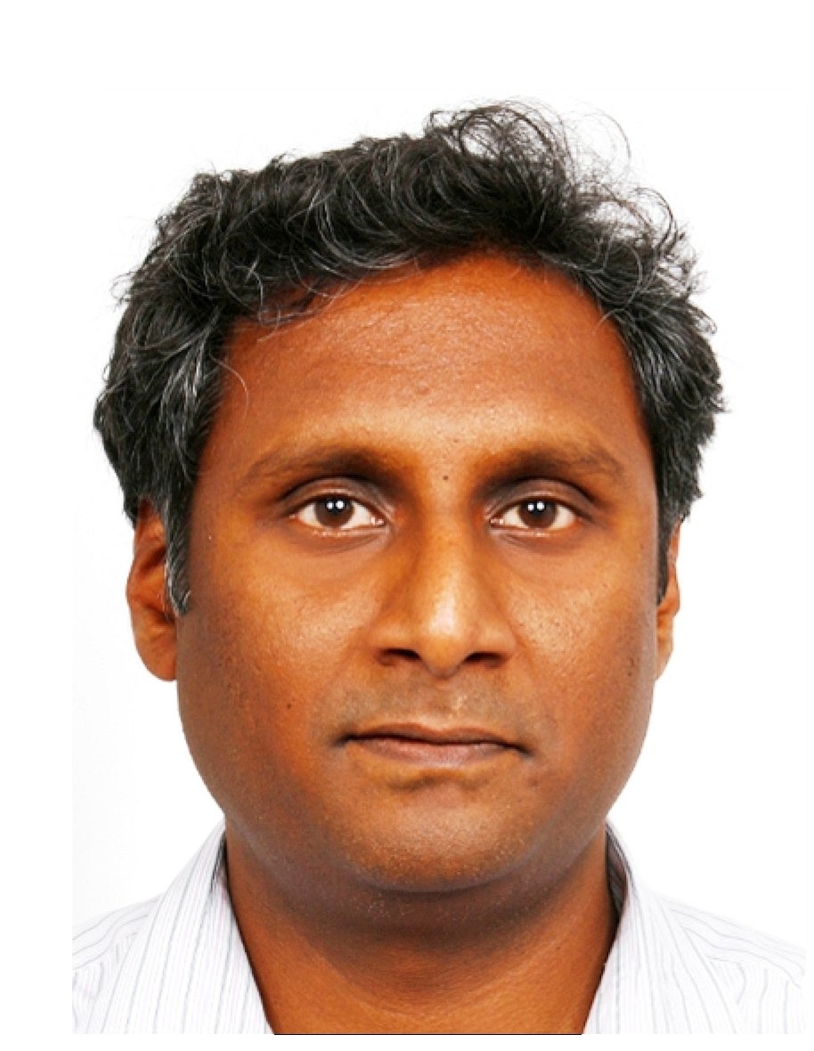
Dr. Balaji DevarajuAssistant Professor |
Research
Indicative List of Areas of Interest
|
1 |
Precise geodetic techniques for polar motion studies and in the determination of Earth rotation parameters |
|
2 |
Estimation of essential climate variables using geodetic sensors |
|
3 |
Determination of precise gravity field using satellite gravity missions such as GRACE, GOCE, CHAMP, etc., and hence to realize precise gravimetric Geoid in combination with Airborne and terrestrial gravity data |
|
4 |
Recovery of temporal variations of the gravity field from GRACE and GRACE-FO |
|
5 |
Simulation studies for future satellite gravity field missions |
|
6 |
Characterizing catchments with terrestrial gravimetry |
|
7 |
Development of regional precise gravimetric Geoid for the Indian subcontinent and establish Indian vertical datum. |
|
8 |
Use of precise geodetic techniques for crustal deformation and plate motion studies and in the determination of earthquake precursors |
|
9 |
Satellite altimeter for sea-level variation studies and climate modeling |
|
10 |
Disaster management studies such as flood modeling, Tsunami warning, and landslides using satellite images and satellite/ ground-based geodetic measurement techniques |
|
11 |
Development of Indian grid reference system on GPS along with subroutines for coordinates data computation |
|
12 |
Error analysis in map projection and transformation |
|
13 |
Positioning algorithms for GNSS satellite systems- GPS, GLONASS, GALILEO, COMPASS, IRNASS, etc. |
|
14 |
GNSS reflectometry of soil moisture and sea-level studies |
|
15 |
Crustal deformation studies using GNSS |
|
16 |
Application of the IGS Station at IIT Kanpur for studies on the realization of ITRF and ICRF |
|
17 |
Monitoring the hydrological load using GNSS |
|
18 |
Development of low-cost GNSS permanent stations |
|
19 |
Hydrological modeling using GRACE data |
|
20 |
Use of machine learning techniques with massive data from various geodetic sensors |
|
21 |
SAR interferometry for deformation studies |
|
22 |
Airborne and terrestrial laser scanning for various applications |
|
23 |
Integration of various sensors for navigation and mapping |
|
24 |
Camera calibration for photogrammetric applications |
|
25 |
Mobile mapping systems |
|
26 |
GIS applications in open source environment |
|
27 |
Applications for Earth observation and geosciences |


